Crop monitoring and condition assessment
Crop monitoring and condition assessment
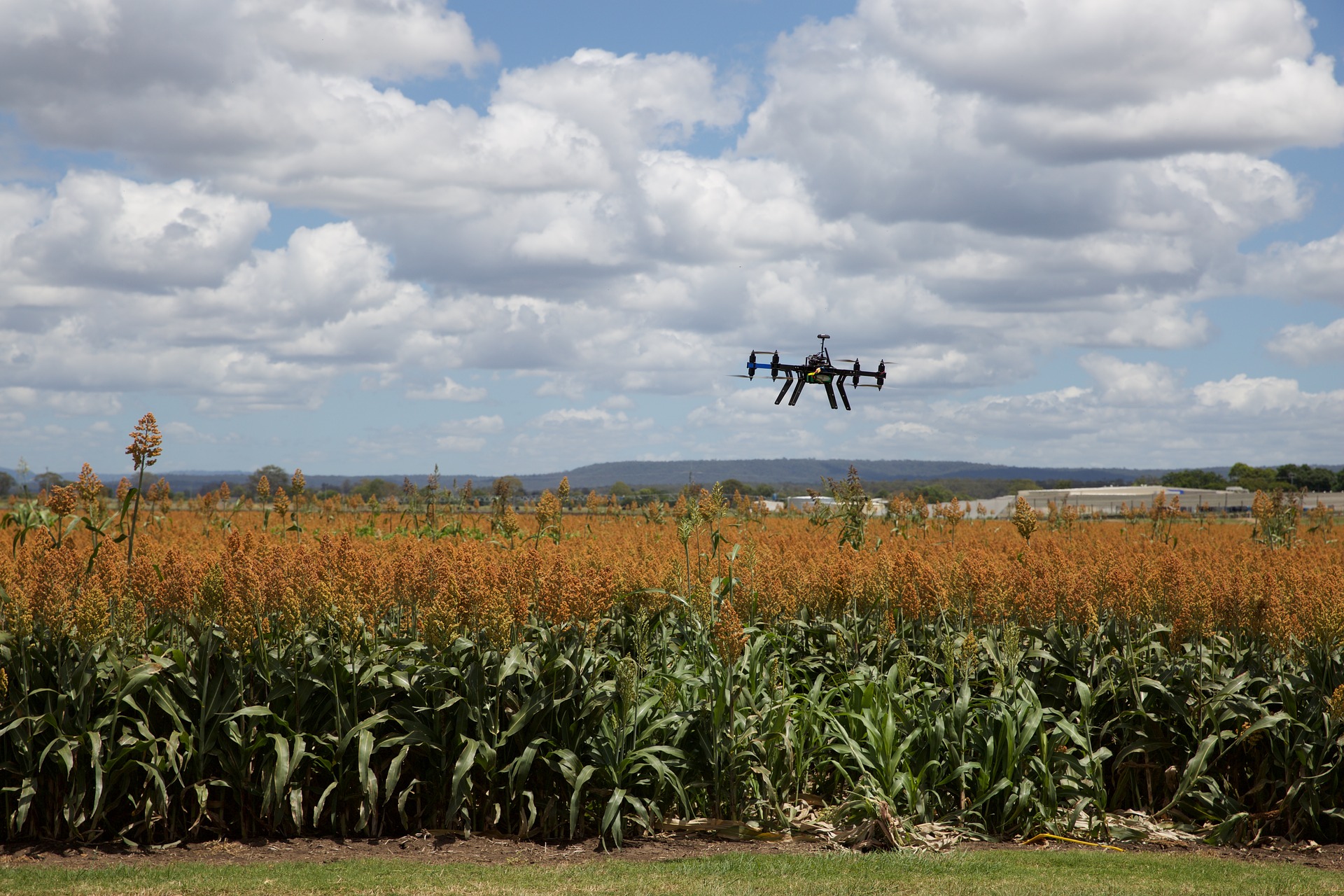
Crop monitoring and condition assessment in the early growing stage are essential for crop monitoring and crop yield prediction. Various satellite images were used to evaluate crop conditions by inter-annual comparisons of both spatial variability (using NDVI, LSWI images) and seasonal dynamics (based on crop condition profiles). In this phase, we anticipate that CSE will focus on the larger Peanut Basin of Central Senegal to control the number of environments to be investigated and improve the performance of crop type mapping algorithms, and in relation with the PCU and NASA-SCO will intensify interactions with the service’s Community of Practice with a focus on Senegal’s DAPSA (Directorate of Analysis, Forecasting and Agricultural Statistics) as a target next user of these products.

