Sustainable Development Goals Mapping
Sustainable Development Goals Mapping
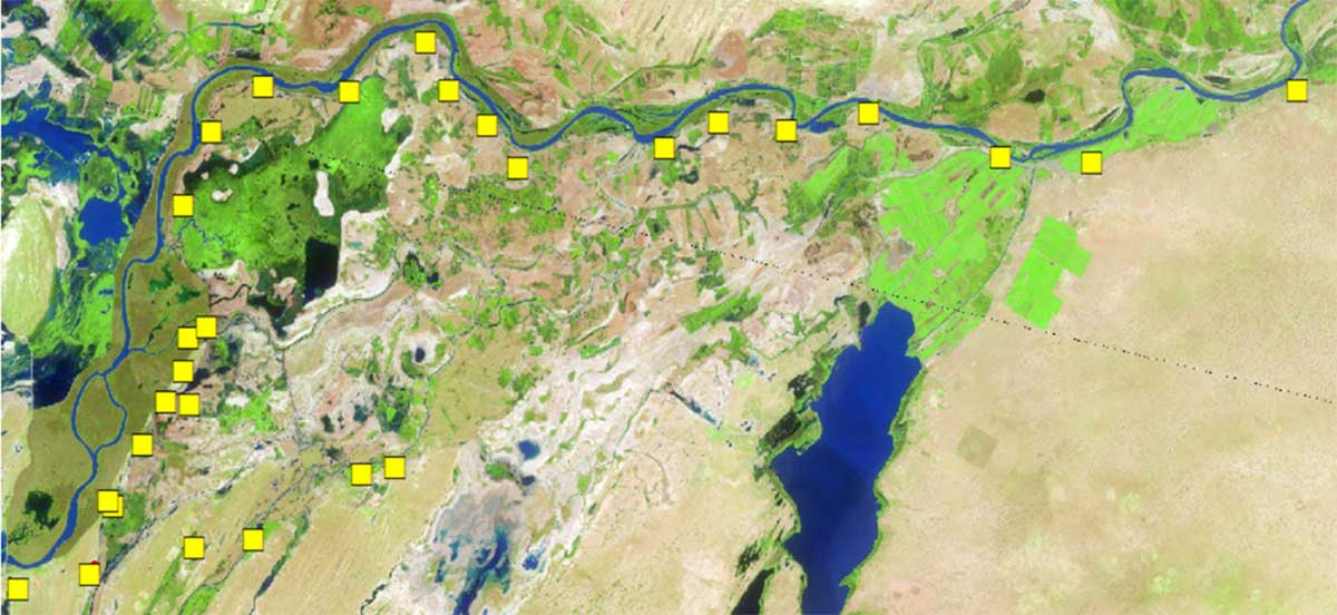
The service Sustainable Development Goals Mapping responds to the need to overcome the lack of nationally and locally explicit data to regularly monitor and report on sustainable development goals in Africa, and additionally inform decisions and investments in these levels. While worldwide, a variety of toolkits (platforms, data portals, dashboards …) harnessing Earth observation data and Geospatial information are being successfully used in the SDG processes, effectively contributing to the achievement of the 2030 Agenda, the results and outputs they provide are not always relevant at national and local levels in particular in the context of Africa.

The pilot project focuses on Senegal to set up a data platform (web portal) that harnesses the power of Earth observation data, complemented by administrative and socio-economic data and leverages existing assets and initiatives to derive biophysical and socio-economic indices and information relevant to selected SDG indicators. Beneficiaries and end users include national and local institutions in charge of collecting data, tracking progress, and reporting on SDGs and other multilateral environmental agreements, and departmental and municipal administrations such as technical agents in charge of data processing and analysis.
The first stage defines an initial action plan and priority environment-related SDG indicators. Ultimately, the service will be up-scaled to other sectors and geographical areas.

