Flash flood vulnerability Mapping
Flash flood vulnerability Mapping
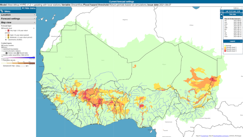
The SERVIR WA program will leverage this effort by developing a set of relevant, granular and up-to-date socioeconomic data layers, and making them available to improve flash flood vulnerability mapping and early assessments of the potential socio-economic impacts of anticipated floods. The scope of this service is therefore not in the improvement of hydrological modelling (such as FANFAR), but in the improvement of a service platform’s ability to translate hydrological model outputs into meaningful predictions of socio-economic impact and to generate commensurate alerts. Additionally, SERVIR WA will strengthen users capacity to mitigate flash flood risks by piloting appropriate hydrological model prototypes in selected small catchments, supported by locally vetted, high-resolution population, infrastructure, crop, topographic and climate data. Test catchments will be selected based on the availability of data and historical flash flood events.

