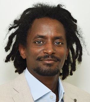
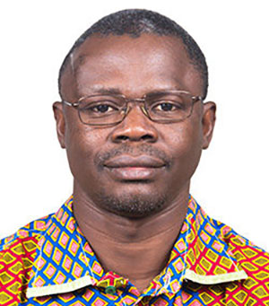
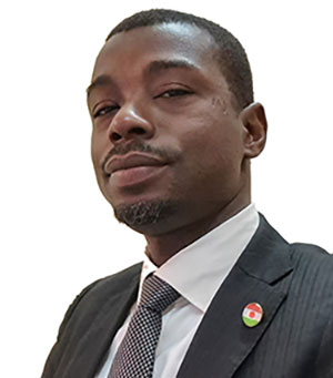
Scientific Officer (GIS and Remote Sensing), ICRISATGarba Boulamine Mounkaila
Garba, is an environmental agronomist, an expert in Remote Sensing & Geographic Information System (GIS) and drone operations. In this program, he uses his expertise to deploy and improve Earth Observation (EO) workflows through data procurement, curation, pre-processing, post-processing as well as uncertainty estimation, interoperability and quality of service. In doing so, his research contributes to understanding different types of remote sensing data needed for different types of services (including the use of artificial intelligence, machine learning, cloud resources, incorporation of innovations and emergent promising methodologies in service workflows). Garba also ensures compliance with open science & open data principles, making sure that scientific rigor in the development of EO-based services is observed. With all this scientific background, Garba is set to facilitate science interactions between all partners of SERVIR and support the program in the coordination of scientific publications on peer peer-reviewed journals.


