
Connecting space to village: towards a regional Earth Observations marketplace in West Africa
![]()
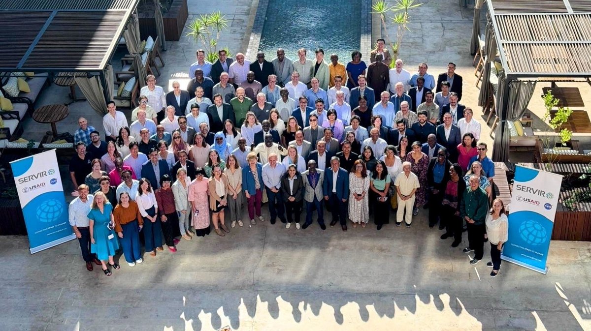

WELCOME TO SERVIR West Africa!


Agriculture and Food Security
Agriculture is the base of the economy of West Africa, which, as the World Bank asserts, provides livelihoods for most of the vulnerable population…

Ecosystem and Carbon Management
Landscape management is associated with major challenges and opportunities throughout West Africa…

Water Security
Water scarcity and excess are the major constraints to sustainable livelihoods in the Sahel and West Africa. They usually result in floods and droughts…

Weather and Climate Resilience
West Africa is prone to high variability in seasonal weather. This is exacerbated by climate change, which increases the severity and frequency of this variation…

Financial Instruments
Financial Instruments (FIS) is a new service area proposed by SERVIR West Africa for 2022-2027 to build EO services that leverage stakeholders’ access to financial resources across…
NEWs
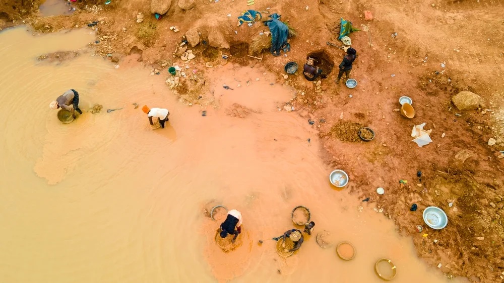
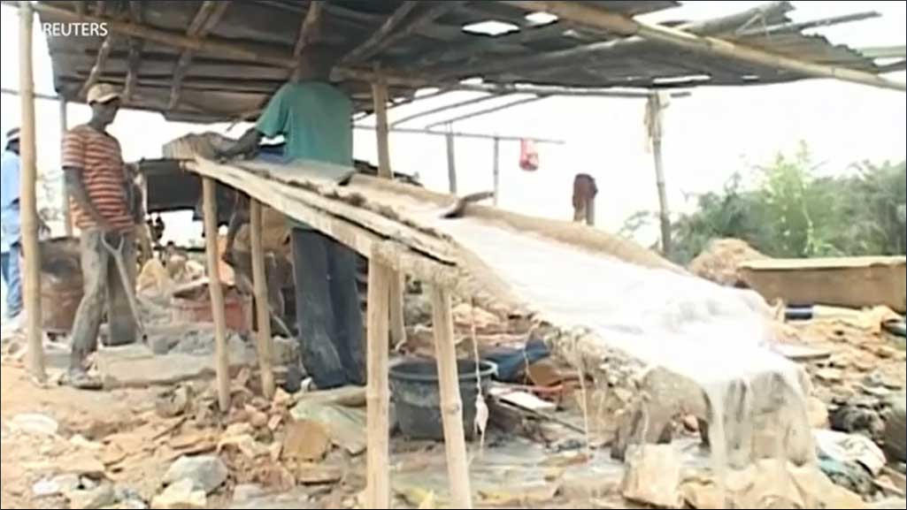
Voices from the Mines: Understanding the Socio-Economic Impacts of Small-Scale Mining in Eastern Ghana
SERVIR WA 2 Project Engages Communities on the Environmental and Health Challenges of Unregulated Mining Operations Artisanal mining is considered a...
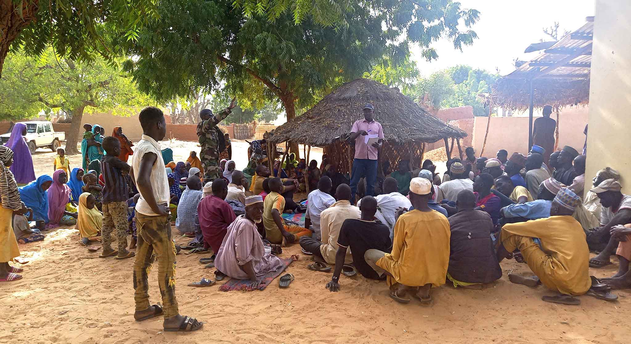
Empowering Community Governance for Sustainable Farmer-Managed Natural Regeneration in Zinder, Niger
A Community of Practice to Safeguard the Sustainability of Actions Farmer Managed Natural Regeneration (FMNR) is playing a pivotal role in restoring...
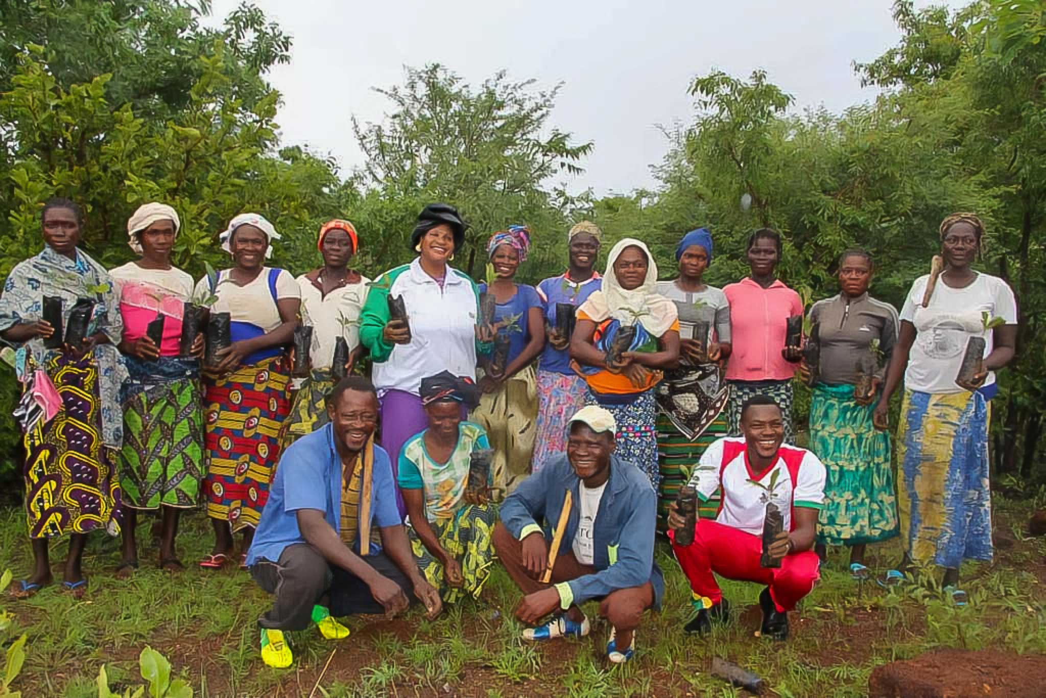
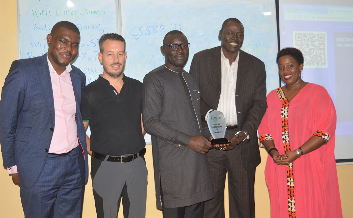
Empowering Women’s Associations to Combat Land Degradation and Achieve Carbon Market Success
In rural communities, women play a crucial yet often overlooked role in agricultural production and sustainable land management. Women’s...
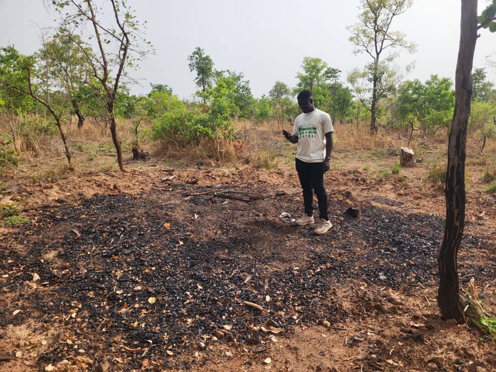
From Trees to Fuel: Monitoring Sustainable Charcoal Production in Ghana
Mapping Sustainability: How GIS and Remote Sensing Are Transforming Charcoal Production Monitoring In sub-Saharan Africa, firewood and charcoal are...
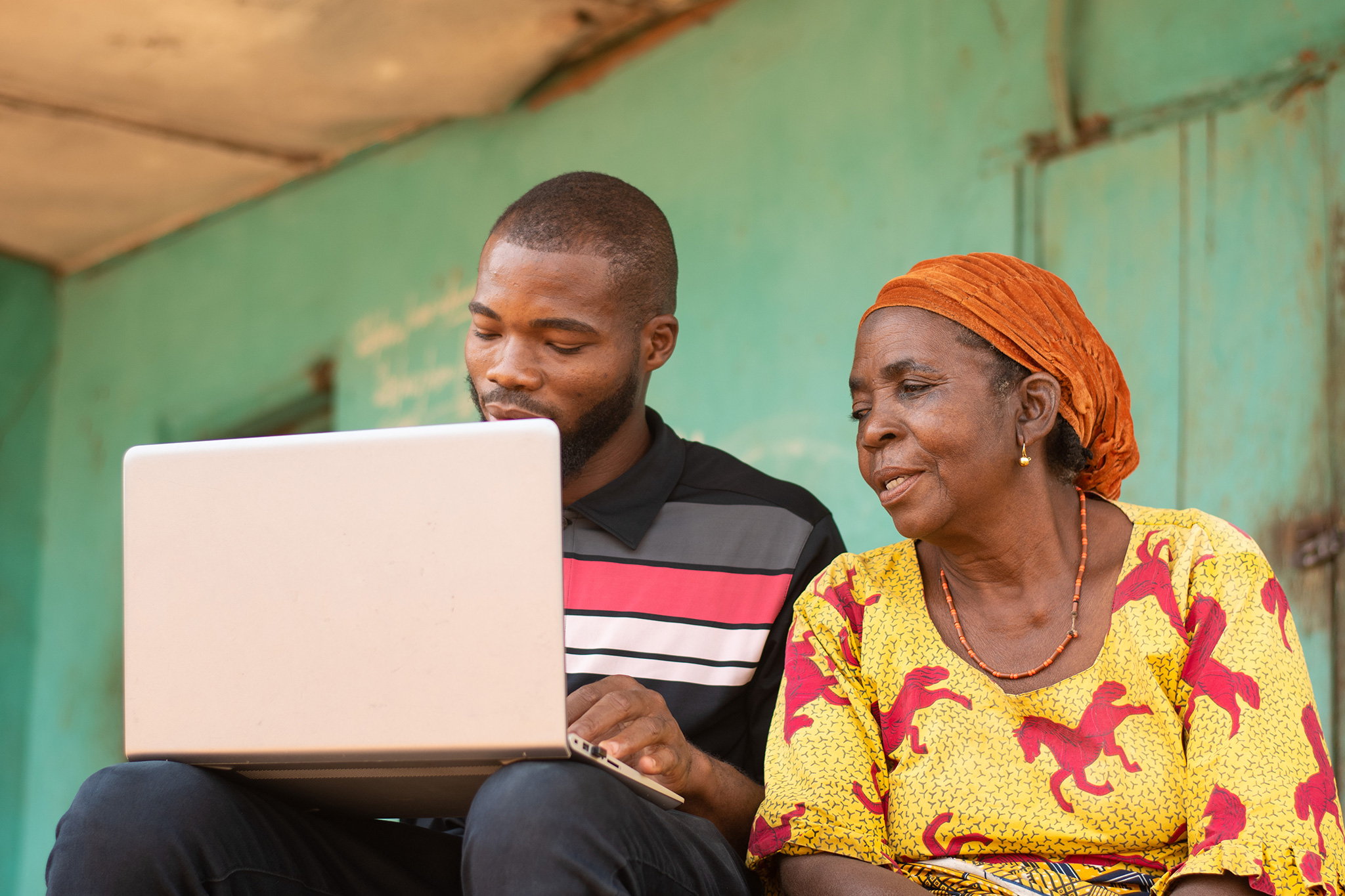
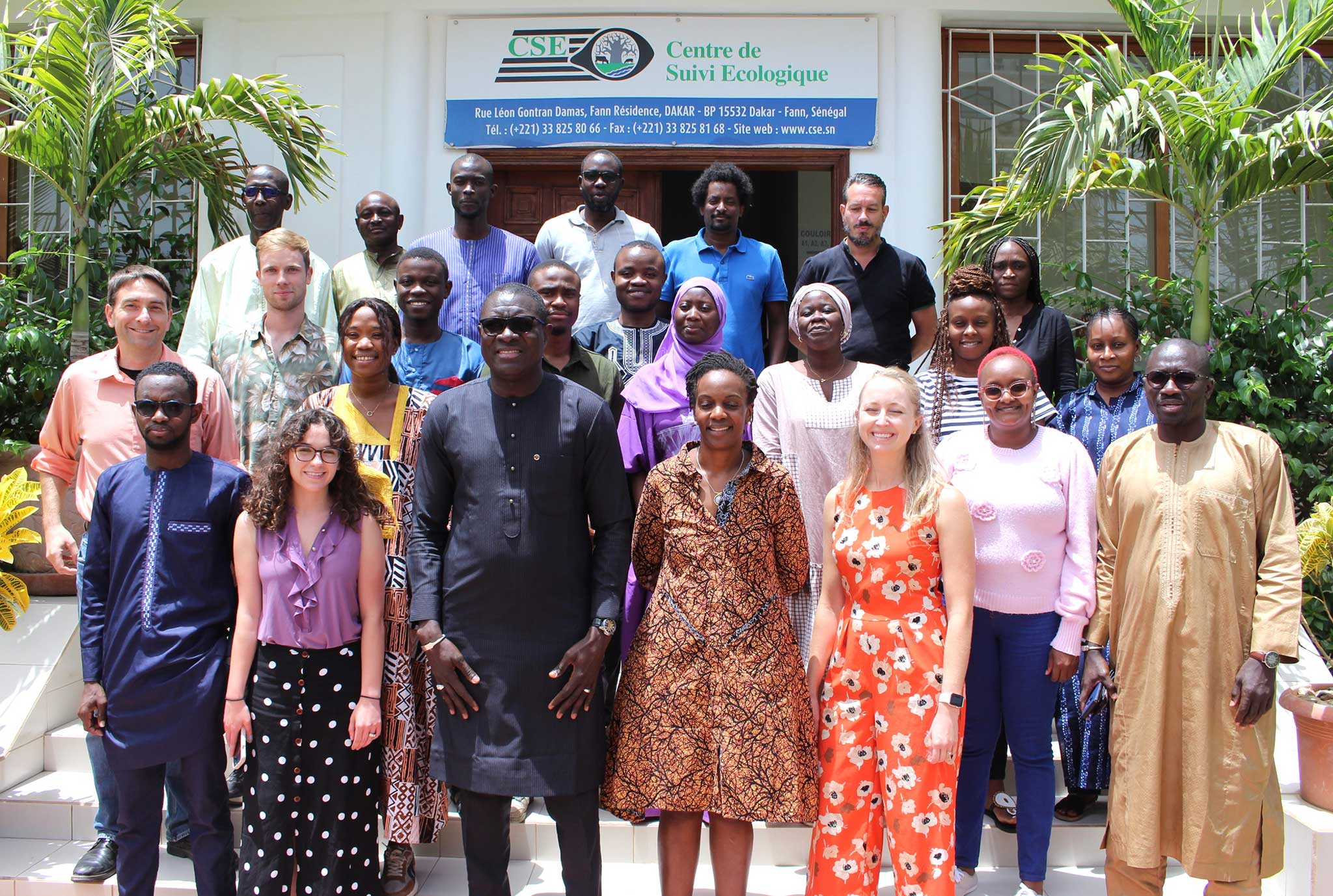
Modernizing Agricultural Monitoring in West Africa Using Earth Observation Data
A SERVIR West Africa Community of Practice is Leading the Way Advancing national agriculture monitoring in West Africa through Earth Observation...
Shaping Community Development Planning with Geolocation
SERVIR West Africa Empowers Burkina Faso's Community of Practice Technical experts, youth representatives, and women's groups in Burkina Faso were...
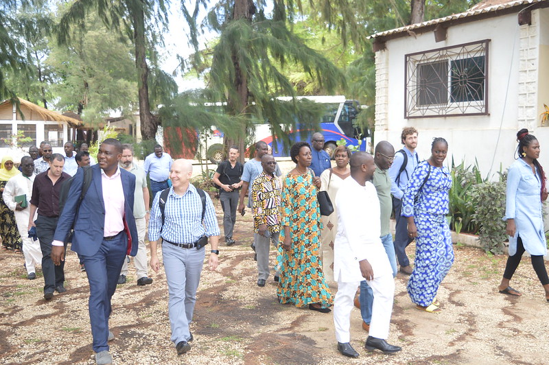
The SERVIR Global Network
SERVIR consists of five regional hubs: SERVIR Amazonia, SERVIR Eastern & Southern Africa, SERVIR Hindu Kush Himalaya (SERVIR-HKH), SERVIR Mekong, and SERVIR West Africa. The hubs work closely with each other and affiliated USAID missions, project partners, and NASA.

Capacity Building
SERVIR puts science at the service of society by building the capacity of regional and national organizations that have demonstrated their ability to work with governments and people and have the capacity to use Earth observation data to understand, predict, and act at the local and regional levels.
WHAT IS SERVIR?
A joint initiative of NASA, USAID, and leading geospatial organisations in Asia, Africa, and Latin America, SERVIR partners with countries in these regions to address critical challenges in climate change, food security, water and related disasters, land use, and air quality. Using satellite data and geospatial technology, SERVIR co-develops innovative solutions through a network of regional hubs to improve resilience and sustainable resource management at local, national and regional scales.
SERVIR Global Network
- SERVIR Global
- SERVIR-Eastern and Southern Africa: Regional Centre for Mapping of Resources for Development (RCMRD)
- SERVIR West Africa: International Crops Research Institute for the Semi-Arid Tropics (ICRISAT)
- SERVIR MEKONG: Asian Disaster Preparedness Center (ADPC)
- SERVIR Amazonia: International Center for Tropical Agriculture (CIAT)
- SERVIR Hindu Kush Himalayas: International Centre for Integrated Mountain Development (ICIMOD)
Gallery
Contact
c/o ICRISAT West and Central Africa Region Hub,
Samanko Station, Route de la Guinée,
P.O. Box 320, Bamako, Mali
info-servir@icrisat.org