The SERVIR Program in West Africa is actively collaborating with partners in Senegal to align project outcomes with the UN Sustainable Development Goals (SDGs). A recent workshop in Dakar brought together members of the Technical Group of the Stakeholder Platform for Monitoring the SDGs in the Environmental Sector (GTPODDE). The workshop re-engaged the community to explore opportunities for establishing an inclusive roadmap for consolidating and expanding achievements.
One of the significant challenges the SERVIR Program faces is the accessibility of reliable data in the region. Environmental data in West Africa is generated and held by diverse organizations, often needing more synergy for integrated information management. To address this challenge, the workshop emphasized the need to harmonize information management practices and promote data sharing among stakeholders involved in SDG management and monitoring.
The SERVIR West Africa Program aims to assist governments and key decision-makers in leveraging publicly available satellite imagery, geospatial data, and maps to make informed decisions in various areas such as food security and agriculture, water and natural disasters, climate change and variability, as well as land use, forest, and coastal management.
During the workshop, Lieutenant Malick Diallo from the Directorate of Water, Forestry, Hunting, and Soil Conservation (DEFCCS) in Senegal highlighted the shortage of human resources, logistical constraints, and financial limitations leading to inadequate forest monitoring.
“The products offered by the SERVIR Program, particularly real-time monitoring of forest resources, will be of great value. With new recruits joining the forestry service, capacity building becomes vital to effectively train these young professionals,” said Lieutenant Malick Diallo.
As a prominent institution in Earth observation, the Centre de Suivi Ecologique (CSE) will provide capacity-building sessions for GTPODDE members. The Center will also create a web-based platform utilizing Earth observation tools to showcase the achievements of the GTPODDE.
“Dr Mamadou Adama Sarr, Coordinator of activities for the SERVIR West Africa project at CSE, emphasized the need for an accessible platform using Earth observation data to monitor and gather information for specific SDG indicators, mainly related to water, food security, and other areas. The platform would be managed by one of the stakeholders and serve as a tool for both actors and the government of Senegal.”
Following the workshop, an action plan was developed. The next step involves organizing another workshop to establish a work plan, review indicators obtained in the first phase, update indicator sheets regarding methodology, calculation, and approach, and focus on image processing, calibration, and validation. IT specialists will work on brainstorming a conceptual model for the platform, ensuring its content and structure are effective. Dissemination and capacity building will follow, enabling stakeholders to use the platform optimally.

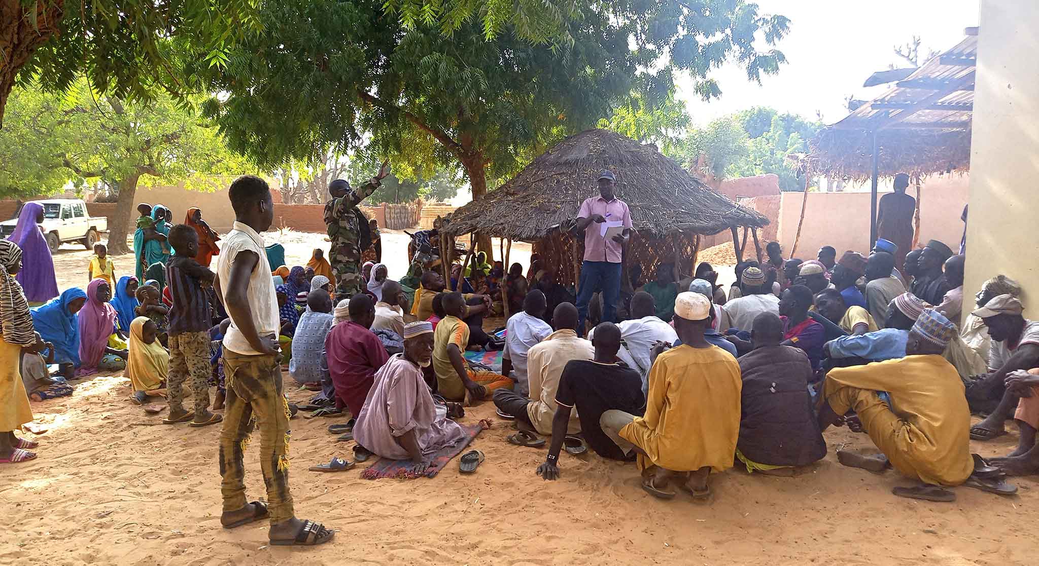
Participants during the workshop. Photo. CSE
About SERVIR
The SERVIR West Africa program forms one of five hubs globally. It is a joint initiative of NASA, USAID, and leading geospatial organizations in Asia, Africa, and Latin America. Read more


