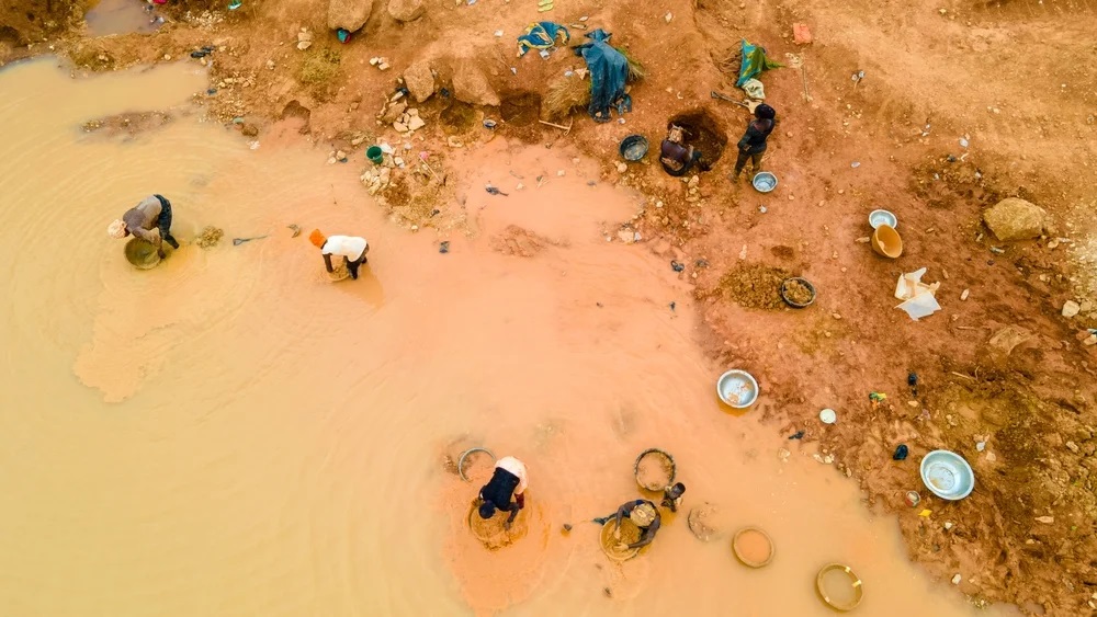
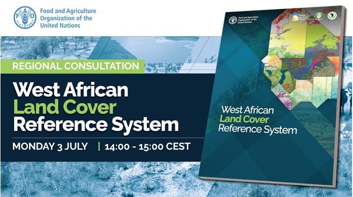
July 3, 2023, marks the West Africa Land Cover Reference System (WCLS) launch. This system was developed with the SERVIR WA consortium, FAO, ECOWAS, and OSS. The WCLS results from a four-year process stemming from the SERVIR-led Conference on Land Use/Land Cover Harmonization and Methodologies held in Accra under the auspices of ECOWAS and the Permanent Inter-State Committee for Drought Control in the Sahel (CILSS). The SERVIR Program in West Africa aims to drive the system’s advancement during phase 2.
During the event, SERVIR West Africa Consortium speakers will share their insights. Dr. Mansour Mahamane, Data and Science Co-lead, and Mr. Bako Mamane, Co-chief of the party at the AGRHYMET Regional Center, will provide valuable perspectives on the West African Land Cover Reference System. Additionally, Mr. Foster Mensah, Executive Director of the Center for Remote Sensing and Geographic Information Services (CERSGIS), will showcase a practical application of the regional system in Ghana.
In addition, a roundtable discussion will feature the participation of Dr. Jamilatou Chaibou Begou, an expert in Water Resources, Gender Equality Diversity and Social Inclusion, and Capacity Development at AGRHYMET, as well as Dr. Emil Cherrington, the NASA Regional Science Coordination Lead for West Africa supporting SERVIR WA.
This event promises to be a powerful platform for sharing knowledge, experiences, and collaboration toward the continued progress of the West Africa Land Cover Reference System. FAO will host the event.
More about this event here
About SERVIR West Africa:
SERVIR WA 2 is a joint initiative of NASA and USAID. It partners with leading organizations in various world regions to support them in providing decision-makers with products and services to strengthen resilience. SERVIR West Africa 2 (SERVIR WA 2) is led by ICRISAT as part of a consortium with several West African institutions, international universities, and organizations. The consortium is comprised of the African Regional Institute for Geospatial Information Science and Technology (AFRIGIST, Ile-Ife, Nigeria), the Agrometeorology, Hydrology, Meteorology Regional Center (AGRHYMET, Niamey, Niger), the Centre for Remote Sensing and Geographic Information Services (CERSGIS, Accra, Ghana), the Centre de Suivi Écologique (CSE, Dakar, Senegal), the Institut Supérieur d’Études Spatiales et des Télécommunications(Ouagadougou, Burkina Faso), and the African Institute of Mathematical Sciences (AIMS, Mbour, Senegal and Accra, Ghana) as well as partnership with the Center for International Earth Science Information Network (CIESIN) and the International Research Institute for Climate and Society, both at Columbia University, and with the University of Florida.